
Soil Risk Assessment Tool
During a storm event, a raindrop can detach soil particles from the ground, causing them to become suspended and transported by water. Vegetation can act as a barrier to this erosion, protecting the soil from the initial rainfall impact, as well as slowing down and filtering overland flow. During the construction process, however, this natural barrier is lost when the vegetation and topsoil are removed for site grading. This can produce a large pulse of sediment in the runoff leaving the site. This runoff then travels downstream and can have many impacts on the receiving water body. Increased sediment loads can change channel geometry, bury existing vegetation, decrease suitable fish habitat, and the nutrients absorbed to sediment particles can affect water quality.
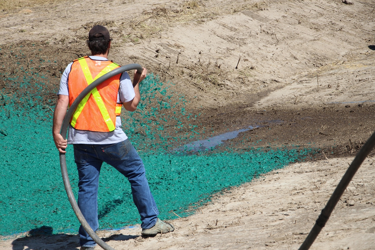
Construction projects in Ontario are complex and involve the implementation of erosion and sediment control (ESC) measures to mitigate soil erosion and nutrient buildup in receiving water courses. Sediment erosion and transport can be reduced through the development process by implementing best management practices (BMPs). BMPs are commonly divided into 2 categories, one category which covers the ground to prevent erosion from occurring and are referred to as erosion control BMPs (vegetation, surface roughening, compost blankets, etc.) and a second category which promotes the deposition of sediment already eroded and are referred to as sediment control BMPs (silt fence, check dams, sediment ponds, etc.).
The Soil Risk Assessment (SRA) Tool has been created to predict average annual soil loss from areas which have implemented a variety of ESC measures. The SRA tool can be used to assess the efficiency of ESCs on construction sites and to determine areas of high erosion risk.